At Fox Glacier I was unable to get my bearings. The car park that led to the walk to the glacier bore no resembance to my memory, neither did the walk. I have a photo of Joe sitting on a large rock right next to the glacier face. Now it was nowhere to be seen! The car park was on a built-up area, people walked upwards from it on a grey path through a construction zone. Yes, there were diggers and dumpers working here, continually shoring up the pathway with large rocks and doing goodness knows what in the valley below us. Finally, after a pretty steep climb, we reached the furthest point permitted and looked across at the glacier, some distance away. Retreated beyond belief, a glacier apocalypse. Some information boards at the start showed a comparison between 2008 and 2014. The glacier must have halved in those six years.
At Fox Glacier there is a choice of another walk 5kms away. Lake Matheson, the photogenic lake that reflects Mount Cook and Mount Tasman. Sometimes. On this still, overcast day wispy white cloud kept the two famous peaks behind a veil of mystery. The walk was supposed to take one and a half hours but we did it in one, even with photos. Mind you, everything on me below the waist hurt, as I'd walked about 30 miles in five days.
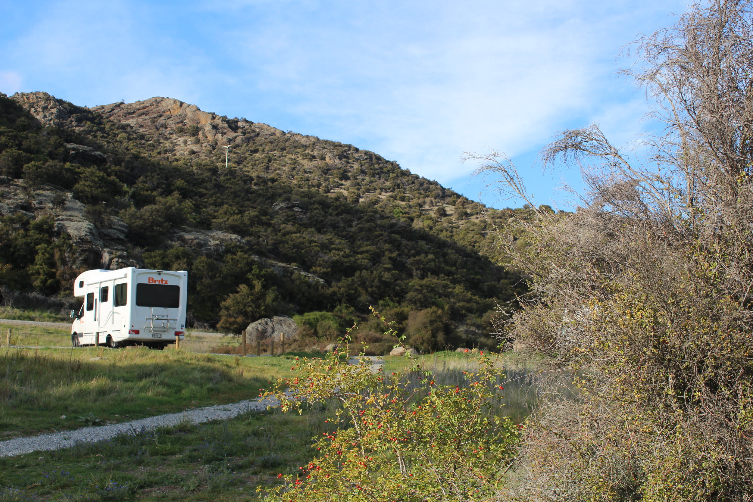
Been there, done that, quick march, cup of tea, now drive, drive, drive... three and a half hours later - Wanaka dump station - then onwards another 40 minutes to Bendigo picnic area for the night. A huge free camp we found on the Rankers app again. Penty of campers there, at the lake. Pity some sick truck drivers thought to blow their horns for as long as they could as they passed at 4am.


